Accurate Data. Realistic Models. Smarter Decisions.
We deliver precise 2D plans and realistic 3D building models using advanced geospatial technologies, empowering better planning, design, asset management, and city development.
Axiom creates detailed 2D structural floor blueprints and realistic 3D building architectural layouts. Our mapping outputs assist real estate developers, urban planners, and facility operations managers with high-fidelity geospatial intelligence.
Sub-meter accuracy for detailed 2D & 3D spatial representations.
Real-world visualization with textures, elevations, and true dimensions.
Support urban planning, infrastructure design, and smart city initiatives.
Streamlined data capture and model generation reduces costs.
2D maps, 3D models, DEMs, DSMs, contours & more as per your needs.
Easy integration with GIS, BIM, CAD, and other enterprise systems.
Accurate 2D floor plans and topographic maps for planning, design, and documentation.
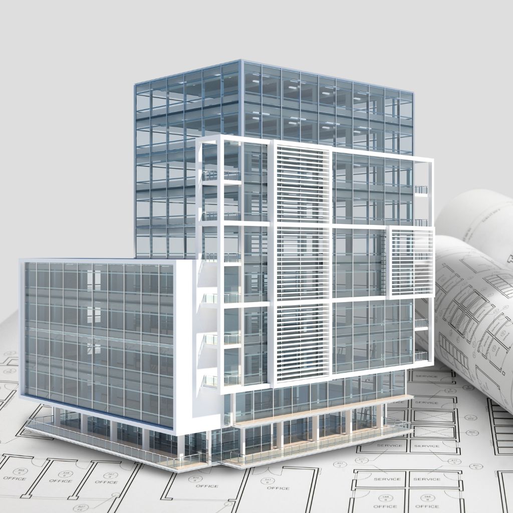
Realistic 3D models with true geometry, textures, and detailed architectural representation.
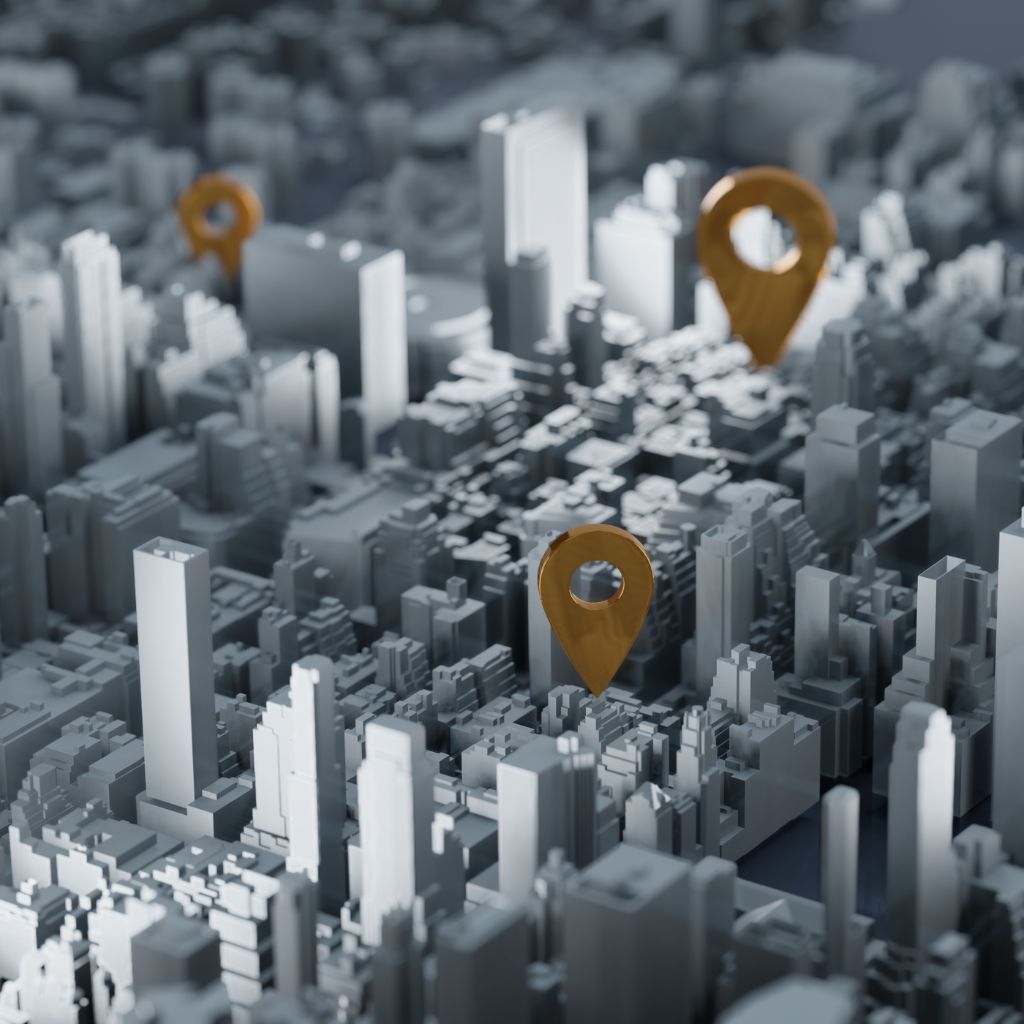
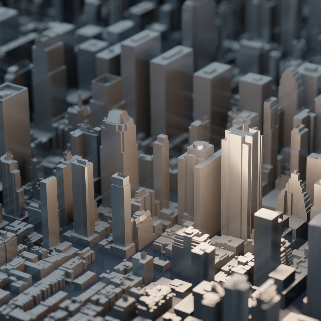
City-scale 3D models for urban planning, infrastructure design, and smart city applications.
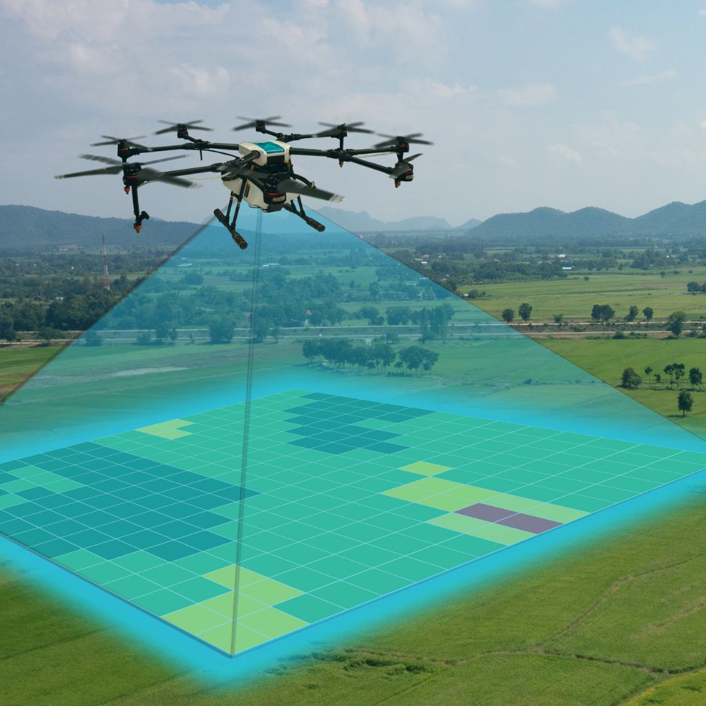
High-resolution aerial mapping using drones for precise and up-to-date spatial data.
High-density LiDAR point clouds for detailed terrain, building, and infrastructure mapping.
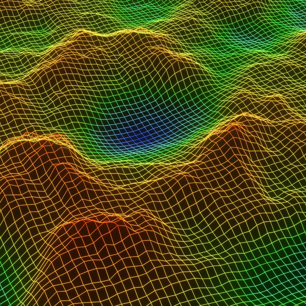
Convert 3D models into BIM ready formats for construction and facility management.
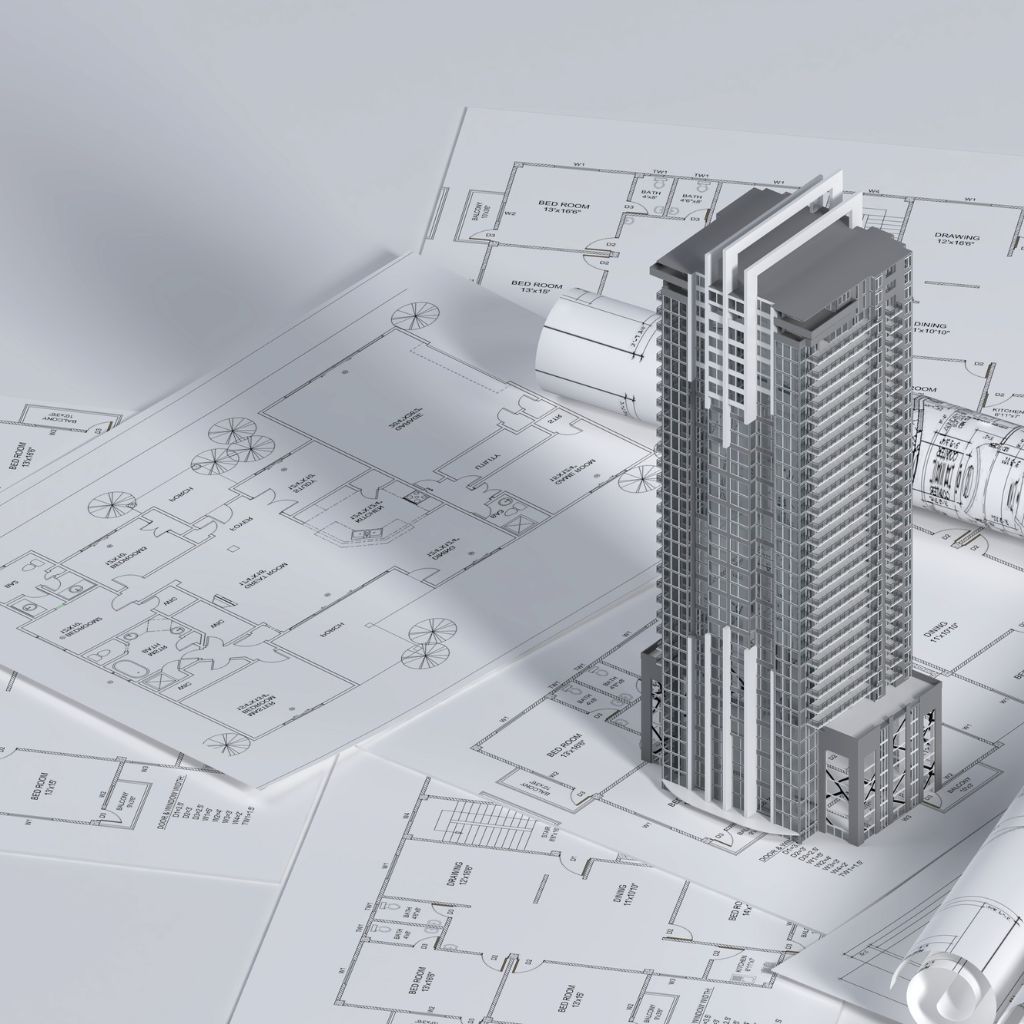
Photo-realistic facade models with accurate textures for better visualization.
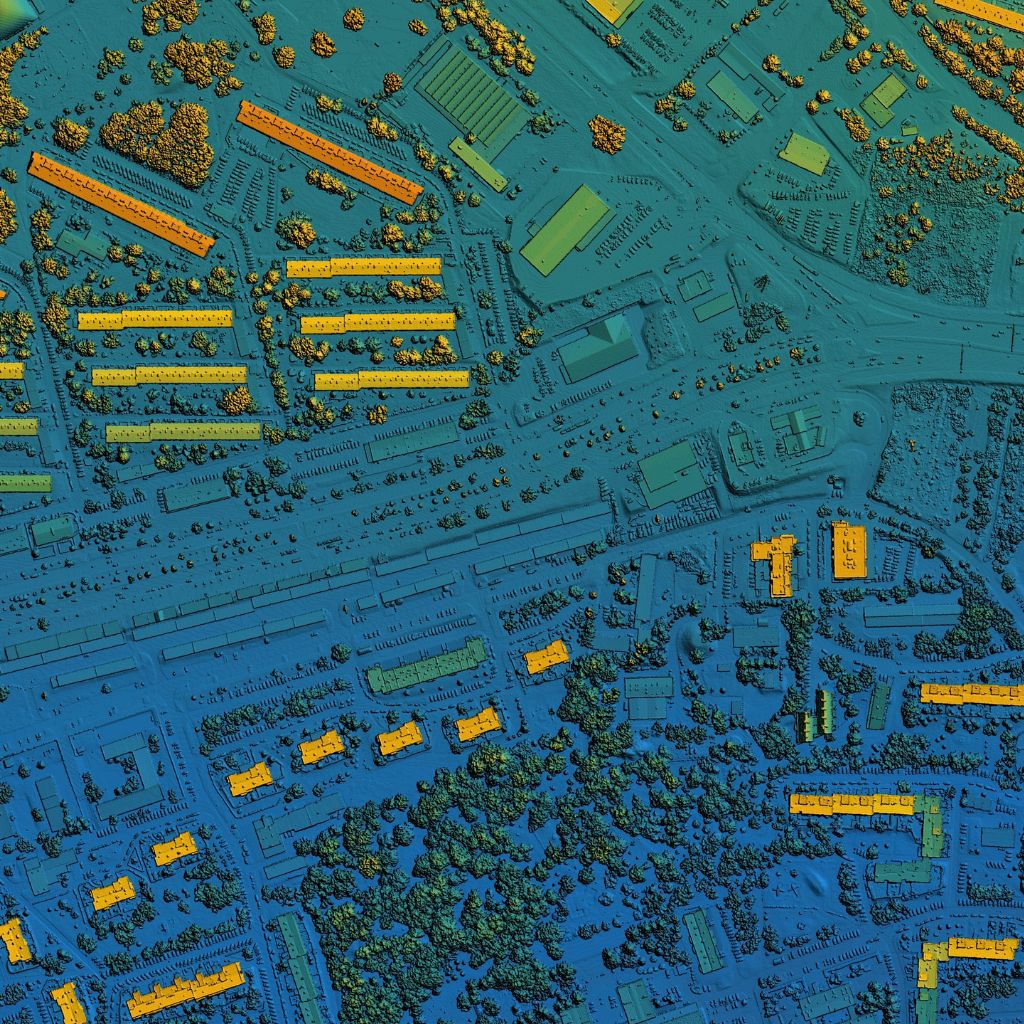
Extract accurate measurements, volumes, and areas for analysis and reporting.
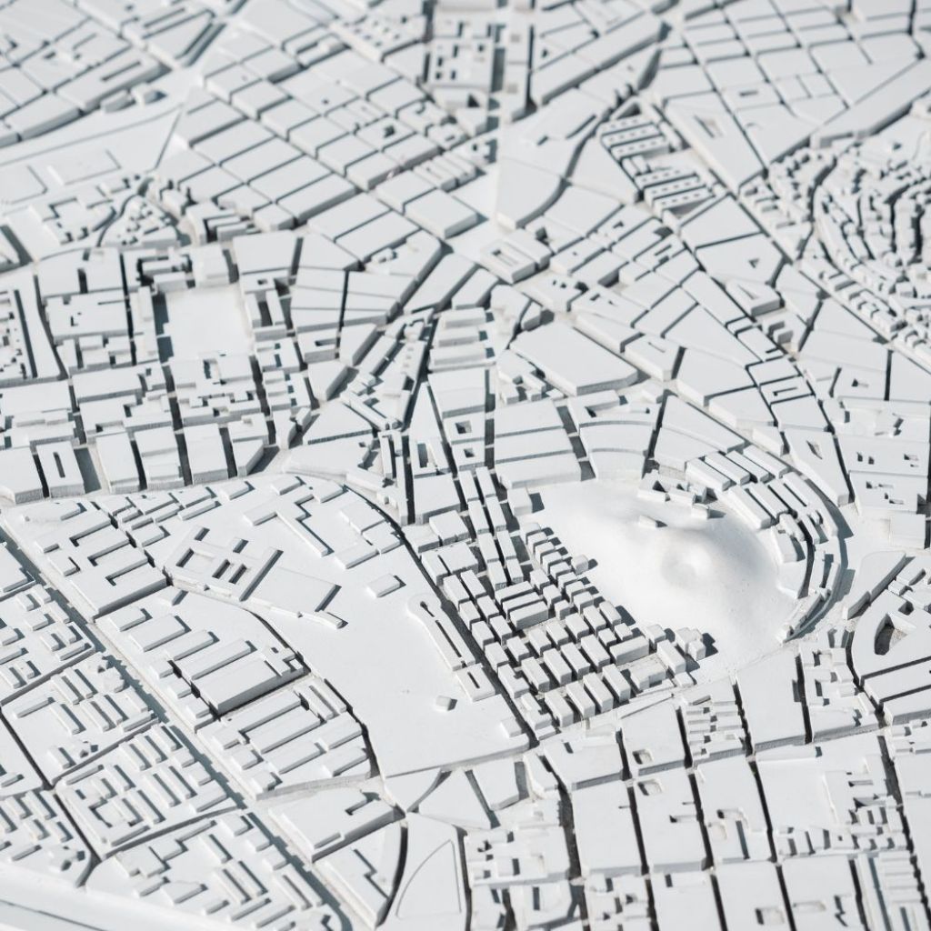
Capture data using drones, LiDAR, total stations, and other advanced sensors.
Process raw data to generate point clouds, orthophotos, and base maps.
Create accurate 2D maps and detailed 3D building/city models.
Rigorous quality assurance for accuracy, completeness, and consistency.
Deliver final outputs and integrate with your existing systems.
Provide updates and maintenance for current and future needs.
We created a high-accuracy 3D city model covering 50 sq. km for a metropolitan city to support urban planning, infrastructure design, and smart city initiatives.
View Case StudyGet precise, reliable, and actionable spatial data to plan, design, build, and manage with confidence.
Talk to an Expert