LiDAR processing converts billions of laser points into accurate, actionable information. Our advanced algorithms and industry expertise deliver precise, reliable, and intelligent 3D data.
Centimeter-level precision
AI-powered classification
For nation-wide datasets
Optimized data pipelines
LiDAR processing is the series of computational steps used to convert raw, unstructured point cloud data into meaningful, classified, and high-fidelity 3D models. It includes noise filtering, feature classification, elevation modeling, and quality control.
Securely receive and validate raw scanner points dataset.
Remove flight overlap noise and system outliers points.
Classify points into ground, vegetation, and structure layers.
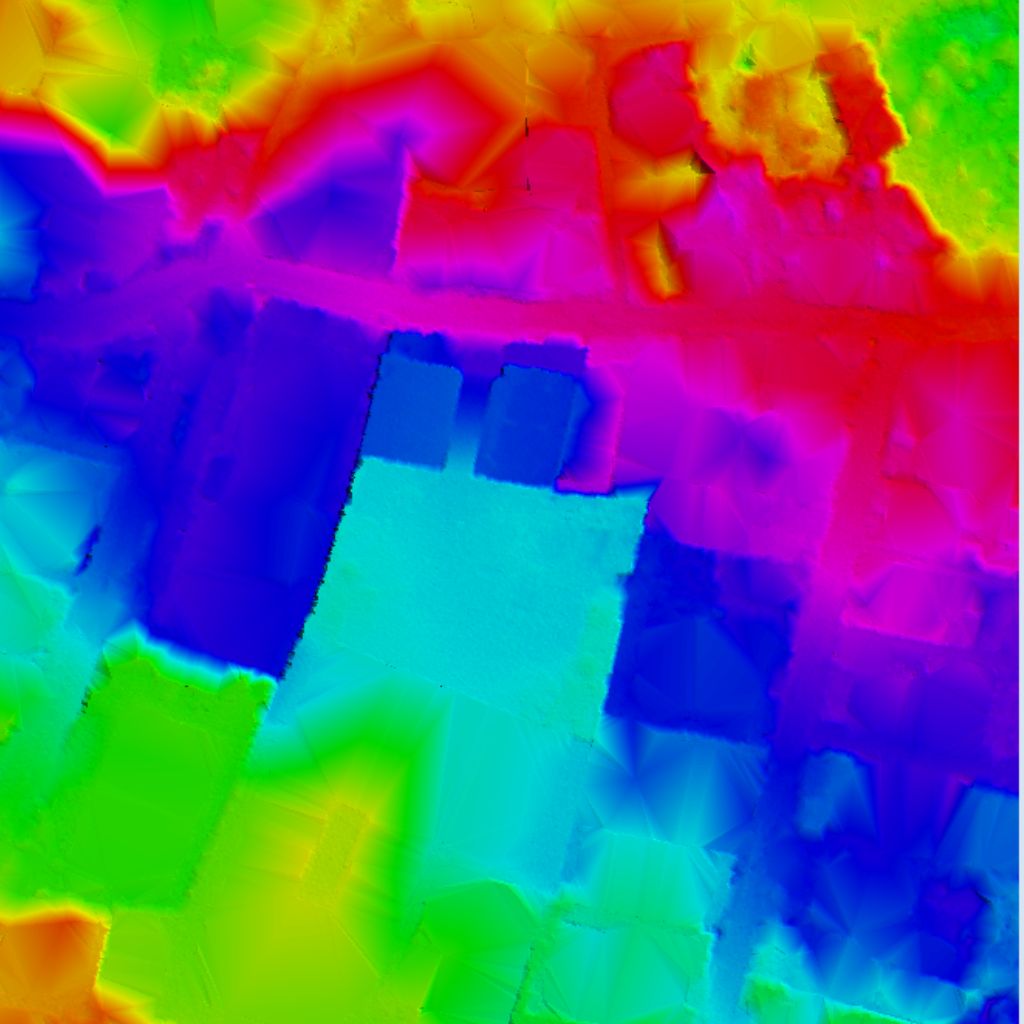
Create high-resolution terrain surface meshes and DSMs.
Extract vector lines representing roads, structures, and utility wires.
Rigorous QA/QC parameters verifying absolute spatial accuracy.
Provide export formats in coordinate systems matching client workflow.
Advanced classification separating ground, vegetation levels, structures, powerlines, and water points.
Generate highly accurate Digital Terrain Models (DTM), Digital Surface Models (DSM), TINs, and contours.
Develop true-color textured 3D building meshes, municipal digital city blocks, and architectural structures.
Automated and manual extraction of infrastructure features like power poles, curb edges, and bridge structures.
High-precision cut/fill calculations, volumetric measurements of pits/stockpiles, and timeline deformation checks.
Comprehensive evaluation checks against surveyed ground control points (GCP) ensuring project horizontal/vertical accuracy.
LAS / LAZ
(DTM)
(DSM)
(DXF / SHP / PDF)
(OBJ / FBX / 3D Tiles)
(GeoTIFF / JPEG)
(PDF / Excel)
Create accurate maps and site plans with classified bare earth points grids.
Extract 3D city structures, municipal zoning boundaries, and infrastructure layouts.
Optimize railway lines monitoring, road pavements grading, and landing strip checks.
Identify power pole locations, pipeline profiles, and line clearance sag violations.
Stockpile volume assessments, safety wall grades, and timeline excavation monitoring.
Evaluate individual tree heights, vegetation thickness, canopy indices, and biomass.
Extract as-built models from scans, evaluate project accuracy, and monitor timelines.
Simulate flood runoffs terrain gradients, monitor shore erosion, and track glacier melting rates.
Experienced team with domain knowledge and best practices.
Latest software, AI/ML, and high-performance computing.
Centimeter-level accuracy with strict QA/QC checks.
Adaptable to projects of any size and complexity.
Data security, confidentiality, and on-time delivery.