Home › Services › LiDAR › LiDAR for Utilities
LiDAR for Utilities

LiDAR for
Utilities Services

Leverage LiDAR technology to capture high-accuracy data for power, gas, water, and telecom utilities. Improve safety, streamline operations, ensure compliance, and plan with confidence.

High Accuracy

Centimeter-level precision

Complete Coverage

Capture every detail

Operational Efficiency

Faster inspections & planning

Risk Reduction

Identify issues early

Overview

Why LiDAR for Utilities?

LiDAR provides comprehensive 3D data that penetrates vegetation, reveals true ground, and captures above-ground assets with exceptional accuracy. This serves as a key foundation for utility asset management, network planning, and predictive hazard mapping.

See Everything

Capture both ground and above-ground structures.

Work Smarter

Automate inspections and reduce manual field tasks.

Plan Better

Design, upgrade, and maintain networks with confidence.

Stay Compliant

Meet regulatory safety and clearance distance guidelines.
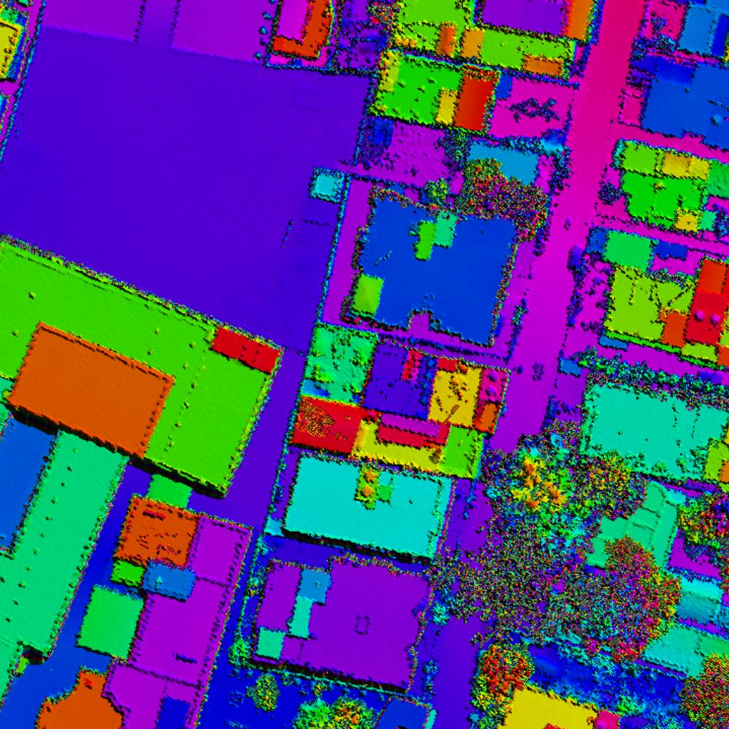
Power Line LiDAR Point Cloud visualization
Sectors

Applications Across Utility Sectors

Power Transmission
  • Corridor clearance
  • Pole & asset inventory
  • Conductor sag checks
  • Vegetation encroachment
Distribution
  • Line inspections
  • Asset GIS mapping
  • Outage management
  • Risk assessments
Telecom
  • Tower installations
  • Line-of-Sight (LoS)
  • Network optimization
  • Small cell suitability
Gas Utilities
  • Pipeline integrity
  • Right-of-Way monitoring
  • Leak support map
  • Excavation planning
Water Utilities
  • Facility 3D models
  • Asset inventories
  • Flood/drainage analysis
  • Lifecycle management
Standard Formats

Outputs & Deliverables

Point Cloud

Classified dataset formats

Digital Terrain Model (DTM)

Bare-earth surface terrain

Digital Surface Model (DSM)

Full-height surface model

Corridor Maps

Utility lines routing profiles

Cross Sections

Span elevation profiles

Asset Inventory

Pole & node catalogs

Reports & Dashboards

Actionable clearance metrics

Formats Delivered

LAS, LAZ, Shapefile, GeoTIFF, DXF, KML, CSV & more.

Compatible With

ArcGIS, QGIS, AutoCAD, PLS-CADD, Bentley Systems.

Value Propositions

Benefits of LiDAR for Utilities

Improved Safety

Reduce field personnel risk by minimizing manual pole climbing and ground inspections.

Higher Accuracy

Centimeter-level spatial data for precise utility network modeling and design.

Faster Turnaround

Rapid corridor data collection and streamlined classification algorithms delivery.

Better Planning

Reliable baseline spatial models for updates, expansions, and compliance tracking.

Cost Efficiency

Substantially lower inspection costs and decrease unplanned outages.

Future Ready

Generate a complete digital twin foundation for smart grid infrastructure integrations.

Methodology

Our LiDAR Workflow for Utilities Projects

01
Understand

Define clear project goals, boundaries and grid accuracy requirements.

02
Acquire

Conduct mobile, aerial or terrestrial scanning operations.

03
Process

Clean, align flight-lines, and classify features point cloud datasets.

04
Analyze

Extract conductor wire sags, poles inventory catalog, and encroachment vegetation.

05
Deliver

Provide GIS-ready deliverables, spreadsheets, and elevation profiles.

06
Support

Ongoing optimization checks and database update cycles.

Case Performance

Real Results. Real Impact.

Axiom LiDAR utility mapping solutions empower power, telecom and municipal utility agencies to optimize networks, verify safety clearance distances, and reduce operating expenditures.

Talk to an Expert
98%

Data Accuracy Achieved

50%+

Faster Data Collection

30%

Reduction in Field Costs

95%+

Inspection Efficiency

Powering a Smarter Utility Future

Partner with Axiom Industries to unlock the full potential of LiDAR for your utility projects.