Home › Services › LiDAR › Digital Terrain Model (DTM)
Digital Terrain Model (DTM)

Reveal the True
Shape of the Earth.

Digital Terrain Models (DTMs) represent the bare-earth surface by removing buildings, vegetation, and other above-ground objects from LiDAR point clouds. Get highly accurate terrain data for better analysis, planning, and decision-making.

Bare-Earth Accuracy

True ground representation

Advanced Classification

Removes non-ground objects

High Resolution

Captures fine terrain details

Large Area Coverage

From small sites to regions

Overview

What is a Digital Terrain Model (DTM)?

A DTM is a 3D digital representation of the Earth's bare surface, created by filtering out all non-ground features such as buildings, trees, vegetation, and infrastructure from LiDAR point cloud data. DTMs are essential for terrain analysis, hydrology, engineering, and environmental studies.

Bare-Earth Surface

Represents true ground elevation

Derived From LiDAR

High-density scanning inputs

Removes Non-Ground

Filters trees and structures

Accurate & Reliable

High vertical precision

Versatile Apps

Supports multiple industries
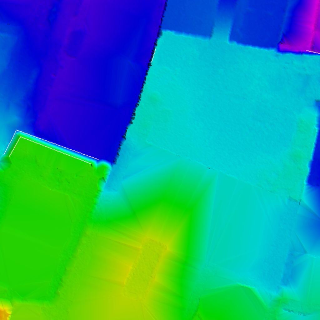
Raw LiDAR Point Cloud vs DTM comparison simulation
RAW POINT CLOUD
DIGITAL TERRAIN MODEL (DTM)
Methodology

Our DTM Processing Workflow

01
Data Preparation

Validate and organize LiDAR point cloud data.

02
Ground Classification

Identify and classify ground points using advanced algorithms.

03
Non-Ground Filtering

Remove buildings, vegetation, and other above-ground objects.

04
Terrain Modeling

Interpolate ground points to create a continuous bare-earth surface.

05
Quality Control

Ensure accuracy, remove artifacts, and validate terrain data.

06
Export & Delivery

Deliver DTM in required formats and projections ready to use.

Technical Specifications

Key Features of Our DTMs

High Vertical Accuracy

Centimeter-level vertical precision matching surveyed ground control points.

High Resolution

Captures fine terrain details and small changes in slope gradients.

Large Area Processing

Optimized algorithms to handle datasets spanning from small sites to regional scales.

Hydrologically Correct

Ensures realistic water flow paths, ideal for hydrology & watershed analysis.

Multiple Formats

Export options in GeoTIFF, ASCII Grid, LAS, LAZ, XYZ and more.

Fast & Efficient

Optimized pipelines for rapid turnaround and delivery on tight schedules.

Use Cases

Applications of DTMs

Hydrology & Water Resources

Watershed modeling, flood mapping, and drainage network analysis.

Civil Engineering

Road design, infrastructure corridor planning, cut & fill volume analysis.

Topographic Mapping

Base map generation, contour mapping, and precise volume calculations.

Environmental Studies

Erosion modeling, habitat analysis, and environmental impact assessments.

Urban Planning

Land development analysis, infrastructure planning, and smart city modeling.

Mining & Quarrying

Pit design, volume estimation of stockpiles, and resource management.

Agriculture & Forestry

Land use planning, crop monitoring, and forest canopy analysis.

Deliverables

DTM Outputs & Deliverables

DTM (GeoTIFF)

Raster elevation grid

Hillshade

Relief shaded visualization

Contour Map

Vector elevation contours

Slope Map

Incline percentage models

Aspect Map

Slope direction layouts

3D Terrain Visualization

High-resolution terrain meshes

Cross Section

Terrain profile charts

Supported Formats

GeoTIFF, ASCII Grid, LAS, LAZ, XYZ, IMG, DAT, Shapefile & more.

Coordinate Systems

WGS84, UTM, State Plane, Local & Custom Projections.

Key Benefits

Why Choose Our DTM Services?

Expert Team

Experienced LiDAR professionals managing advanced data pipelines.

Advanced Technology

State-of-the-art software systems and hardware capabilities.

High Accuracy

Centimeter-level vertical accuracy verified by strict control checks.

Scalable Solutions

Flexible resources suited for small plots or massive municipal areas.

Fast Turnaround

Quick data deliveries without sacrificing vertical precision.

Quality Assurance

Rigorous multi-stage QC reviews ensuring reliable results.

Get Accurate Terrain Insights with Our DTMs

Empower your projects with reliable bare-earth data for better planning and smarter decisions.