LiDAR Analytics converts complex point cloud data into measurable intelligence. Extract features, detect patterns, and make data-driven decisions with confidence.
Turn data into action
AI/ML powered insights
Centimeter-level precision
From site to enterprise
LiDAR Analytics is the process of examining LiDAR-derived data using advanced algorithms, AI/ML models, and geospatial analysis. It converts unstructured point clouds into structured, categorized databases and actionable metrics.
Identify features and objects from spatial point clouds.
Examine relationships and change patterns over time.
Derive quantitative volumes, clearances, and heights.
Display results via 2D maps, 3D grids, and dashboards.
Import LiDAR datasets from multiple scanners and platforms.
Clean, align flight-lines, and normalize point clouds.
Detect features including structures, trees, utility cables, and roads.
Apply spatial queries, change thresholds and AI/ML algorithms.
Compile results into interactive 2D maps, 3D grids and web portals.
Generate summary metrics, catalogs and actionable dashboards.
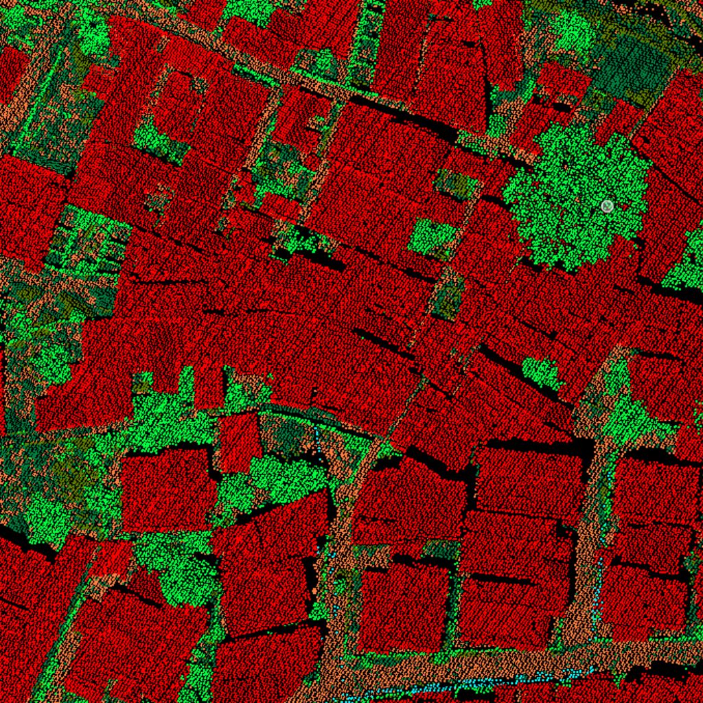
Automatically detect and classify structural envelopes, vegetation volumes, and ground landmarks.
Compare datasets across temporal scales to identify construction progress, erosion, or deformation.
Volumetric checks on mining pits, stockpile deposits, and grading operations terrain variations.
Inspect linear corridors representing roads, railways, and utility line rights-of-way.
Calculate forest tree counts, crown diameters, canopy heights, and utility encroachment zones.
Extract building footprints, heights, roof pitch profiles, and municipal zoning shapes.
Generate highly-detailed 3D city models, evaluate zoning patterns, and plan infrastructure.
Inspect pavement surfaces, map railway lines alignments, and catalog highway asset inventories.
Identify dangerous vegetation encroachments on power lines and document utility structures.
Document tree volumes, check forest canopy thickness, and analyze river basin changes.
Document volume cuts in open mines, inspect stockpile quantities, and monitor pit walls stability.
Generate as-built architectural models, compare models against designs, and monitor progress.
Orthophotos, vector contours, and planimetric maps.
Classified 3D building models and textured meshes.
Custom volume reports, profiles, and web dashboard panels.
Direct exports to standard Esri, CAD, or database formats.