Accurate Maps. Smarter Navigation. Better Journeys.
We deliver high-precision navigation maps and geospatial datasets that power routing, fleet management, location awareness, and real-time navigation across web, mobile, and in-vehicle platforms.
Axiom develops advanced navigation databases to drive next-generation mapping. We customize lane alignments, POI lists, and street speed profiles for logistic networks and automotive clients.
Centimeter-level accuracy for roads, lanes, and navigation networks.
From urban streets to remote areas, indoor to outdoor environments.
Frequent updates to ensure real-time relevance and reliable navigation.
Easy integration with GPS, GIS, IoT, and enterprise platforms.
Quality-assured data with secure delivery and global standards.
Global datasets with local details for better location intelligence.
Detailed road network data including hierarchies, attributes, and connectivity.

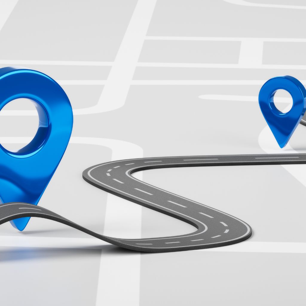
Accurate routing logic and navigation graphs for seamless turn-by-turn experiences.

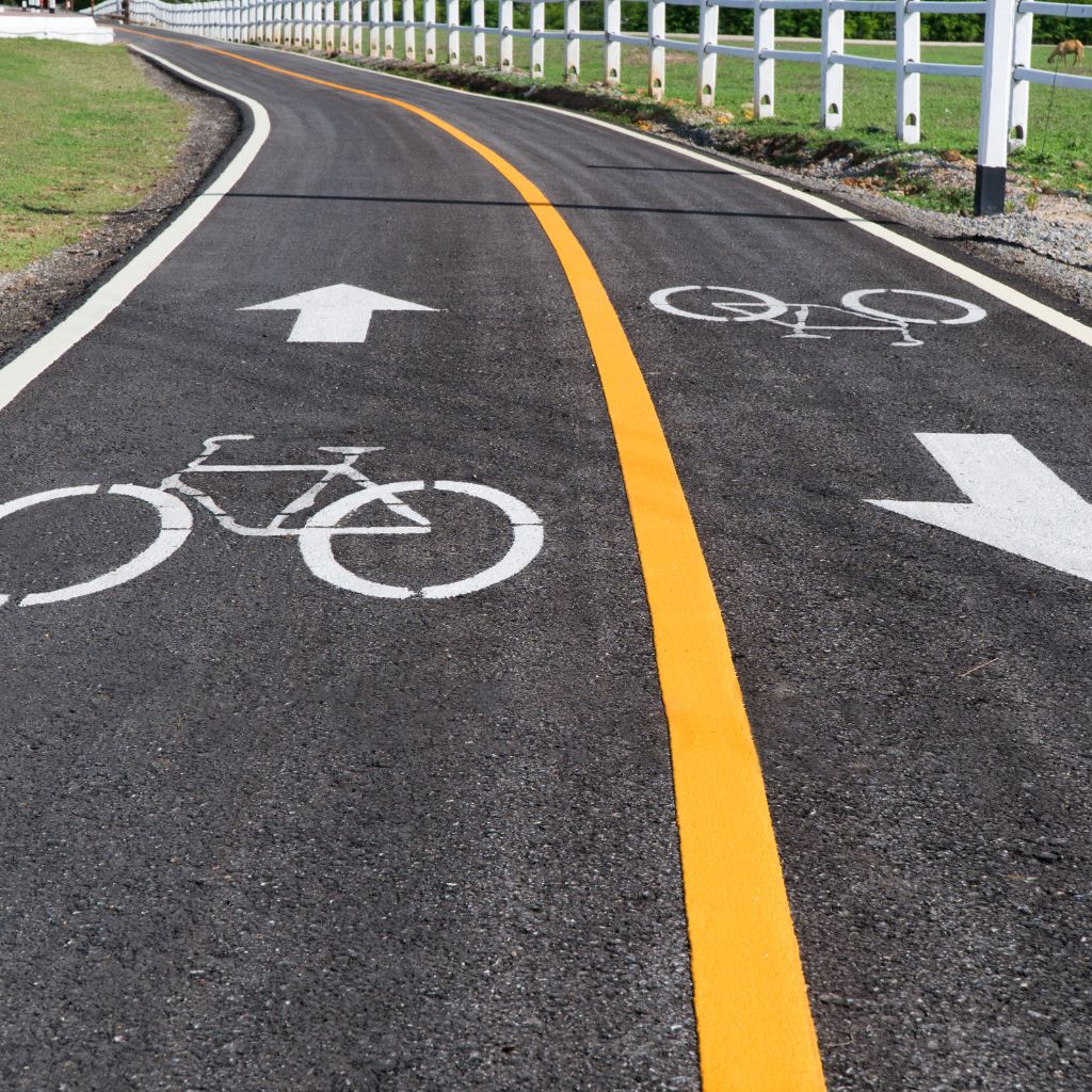
Lane-level data for precise guidance, ADAS, and autonomous driving applications.
Comprehensive POI data with categories, attributes, and business information.
Real-time and historical traffic, speed limits, and congestion information.

Indoor maps for airports, malls, campuses, hospitals, and large facilities.
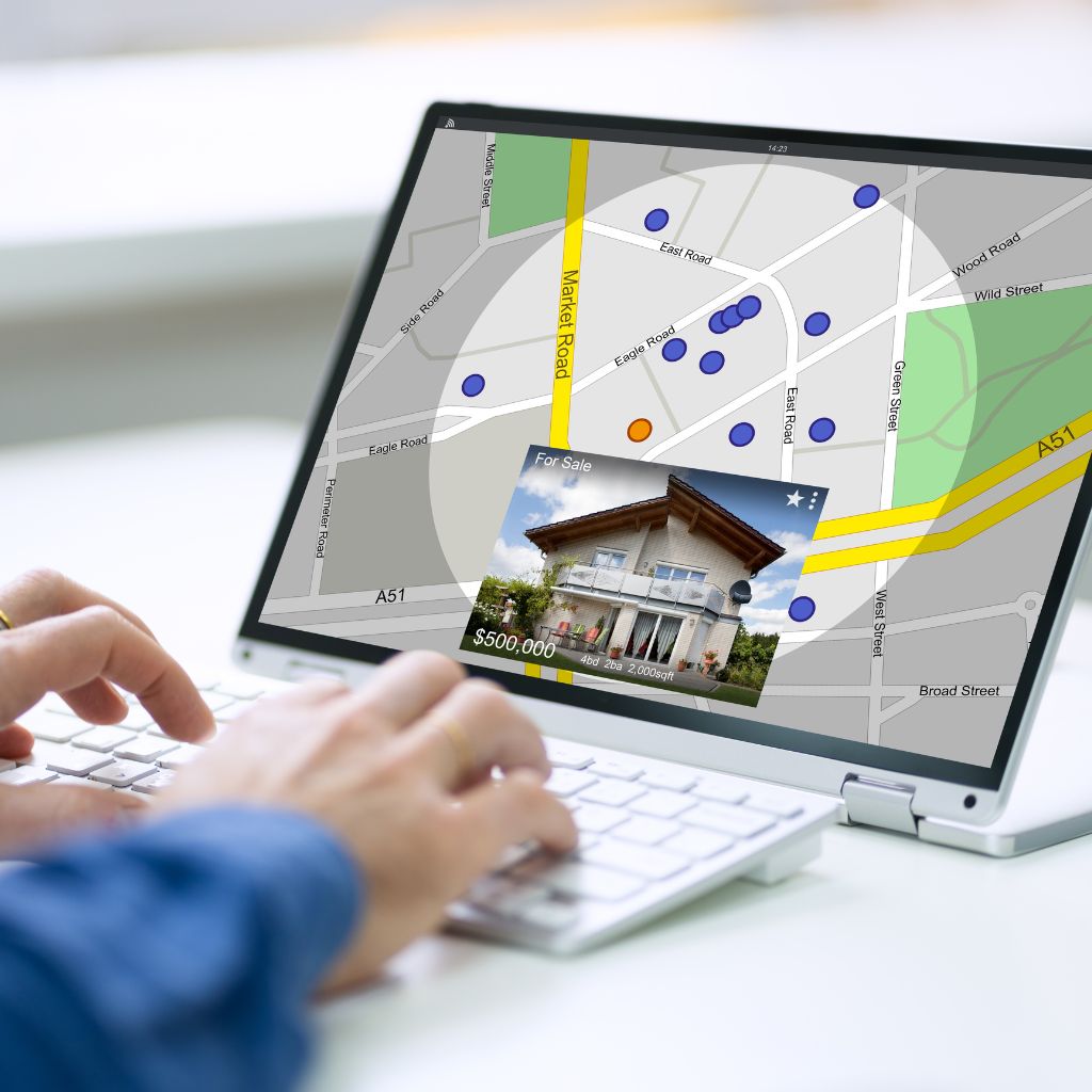
Accurate address databases and geocoding for location search and validation.

3D map models and visualizations for complex environments and immersive navigation.
Understand use case, scope, and data requirements.
Capture data using satellite, aerial, LiDAR, and mobile systems.
Process, clean, and validate data for accuracy and consistency.
Generate navigation-ready maps, routes, and attributes.
Perform rigorous QA/QC to ensure precision and completeness.
Deliver maps via APIs, SDKs, files, or cloud platforms.
Provide ongoing updates, maintenance, and technical support.
ADAS, autonomous driving, and in-vehicle navigation.
Fleet tracking, route optimization, and delivery management.
Last-mile delivery, location intelligence, and customer experience.
Smart mobility, traffic management, and urban planning.
Public transit, rail, aviation, and maritime navigation.
Trip planning, travel apps, and location-based services.
Asset tracking, field force management, and network operations.
We developed a high-precision navigation dataset covering 1 million+ km of roads, enabling our client to optimize delivery routes, reduce fuel costs, and improve on-time performance.
View Case StudyReliable maps. Smarter routing. Better experiences. Let's build the future of navigation together.
Talk to an Expert