Home › Services › GIS Solutions › Parcel Mapping

Parcel Mapping

Accurate Boundaries. Trusted Data. Smarter Decisions.

We deliver accurate, up-to-date parcel maps and spatial data to help governments, businesses, and organizations manage land records, assess properties, and plan with confidence.

High Accuracy Parcel Data
Up-to-Date Land Records
Seamless GIS Integration
Supports Better Decision-Making
Secure & Reliable Deliverables
Overview

Accurate Boundaries. Trusted Data. Smarter Decisions.

Axiom's parcel mapping services convert paper maps and surveys into topologically sound GIS cadastral layers. We compile boundary alignments, link tax attributes, and build parcel fabrics for land planning departments.

High Accuracy

Centimeter-level accuracy for precise parcel boundaries.

Comprehensive Data

Detailed attribute data linked to spatial information.

Regulatory Compliance

Meets national mapping standards and local requirements.

Up-to-Date

Regular updates to keep parcel data current and reliable.

Easy Integration

Seamlessly integrates with GIS, CAD, and enterprise systems.

Secure & Trusted

Secure data handling and confidential deliverables.

Our Parcel Mapping Services

Parcel Boundary Mapping

Accurate digitization of parcel boundaries from aerial imagery, surveys, and existing records.
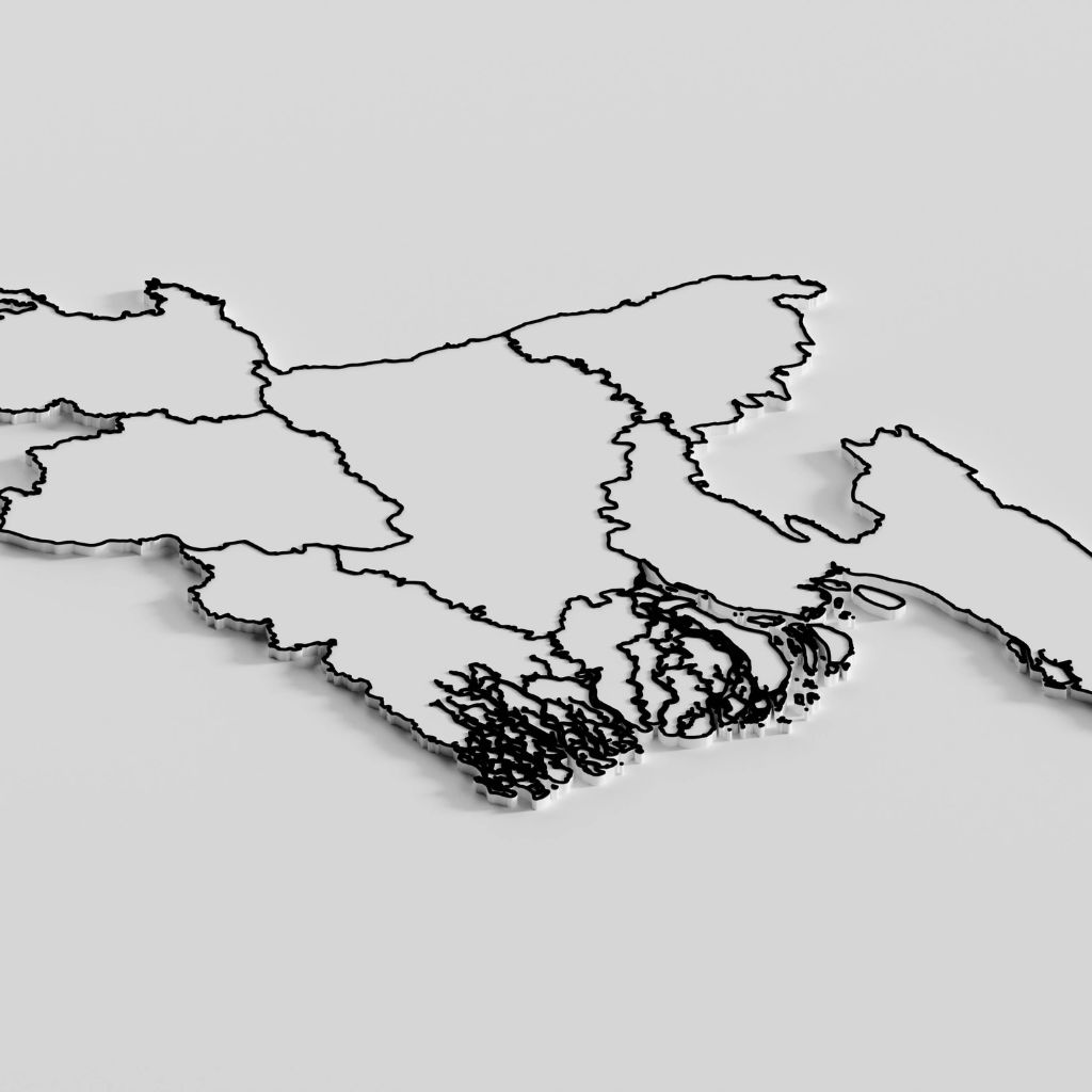
Aerial suburban roofs grid overlay
Cadastral Mapping

Creation and update of cadastral maps for land administration and record management.

CAD street cadastral map
Land Record Digitization

Convert paper records and legacy data into accurate digital parcel databases.

Organized files folders digitization
Parcel Attribute Data

Capture and manage attribute data such as owner, land use, area, and legal information.

Digital property data sheets
Parcel Fabric Creation

Build topologically correct parcel fabric for GIS-enabled land information systems.
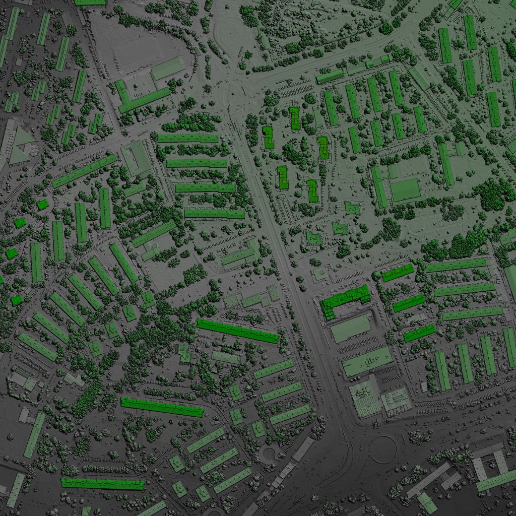
Cyan mesh network nodes lines
Parcel Map Updates

Update parcel maps with new surveys, subdivisions, mergers, and land use changes.
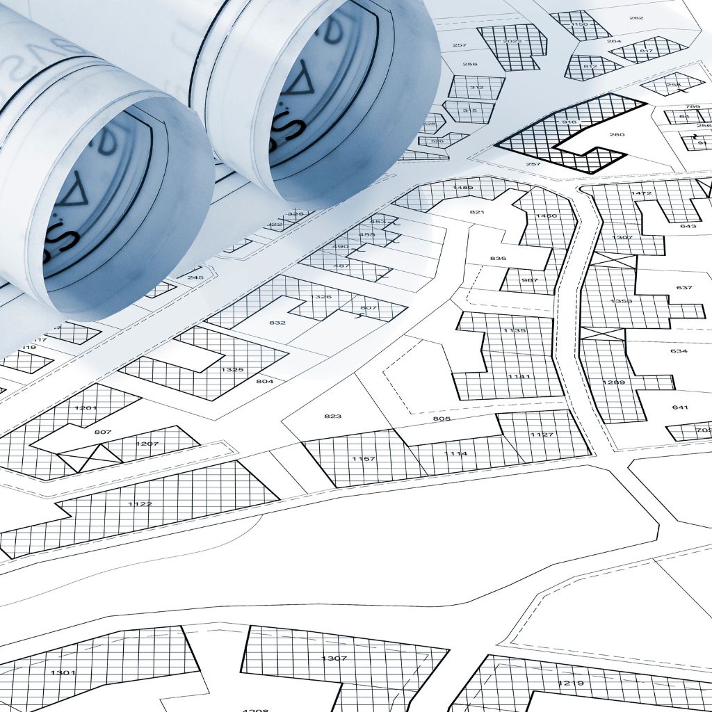
Parcel map updates layout
Tax & Assessment Mapping

Support property tax, assessment, and valuation with accurate parcel mapping.

Tax and assessment mapping overlay
3D Parcel Mapping

Generate 3D parcel models for visualization, planning, and urban development.
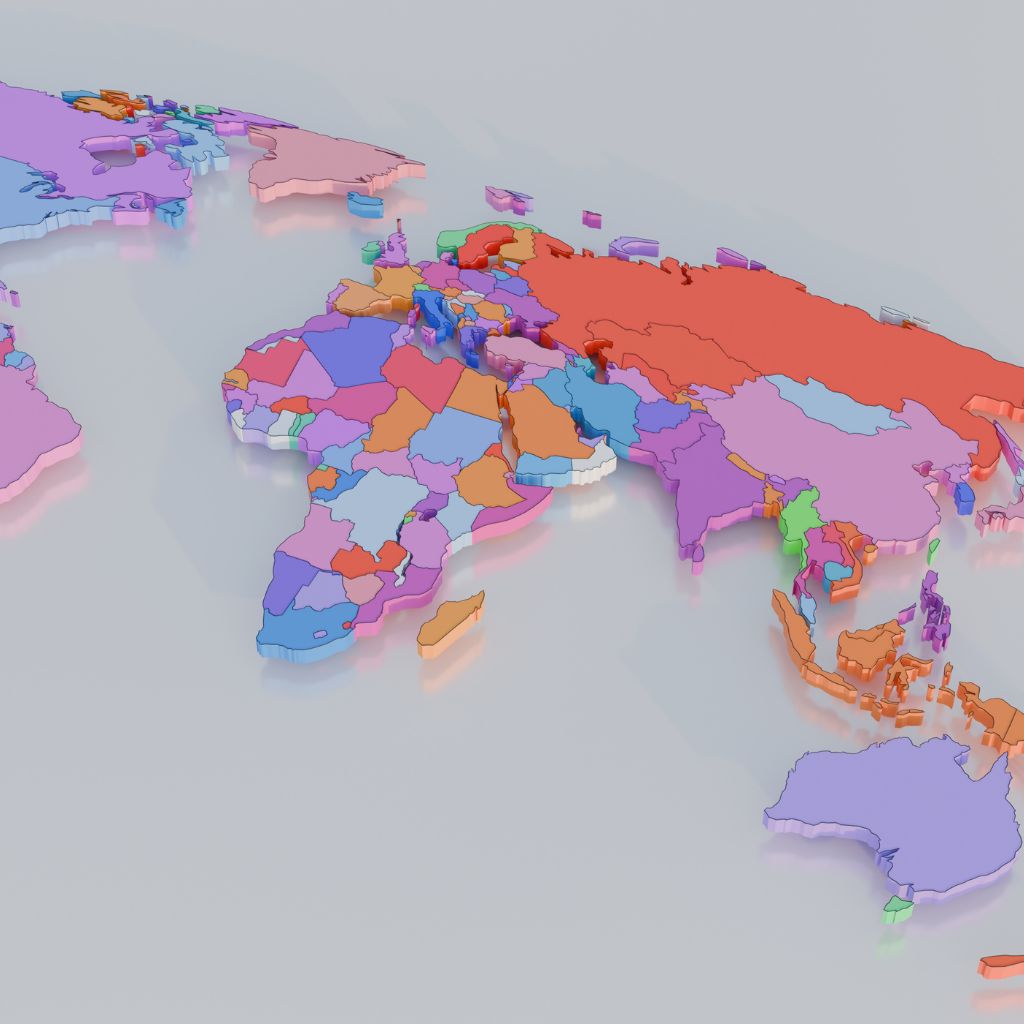
3D parcel extruded model layout

Our Process

01
Requirement Analysis

Understand project objectives, data needs, and standards.

02
Data Collection

Acquire aerial imagery, survey data, and existing records.

03
Data Processing

Process and prepare data for mapping and analysis.

04
Parcel Mapping

Digitize and validate parcel boundaries with high accuracy.

05
Quality Assurance

Perform rigorous QA/QC to ensure data accuracy and completeness.

06
Data Integration

Integrate parcel data with GIS and enterprise systems.

07
Delivery & Support

Deliver final data and provide ongoing updates and support.

Industries We Serve

Government

Land administration, revenue departments, and local government agencies.

Real Estate

Property development, management, and investment firms.

Utilities

Infrastructure planning, asset management, and utility services.

Agriculture

Land management, irrigation planning, and resource optimization.

Transportation

Right-of-way mapping, route planning, and infrastructure projects.

Insurance

Risk assessment, property insurance, and claim management.

Suburban neighborhood parcel map view case study
Case Study

Statewide Parcel Mapping Project

We delivered accurate parcel maps for over 5 million properties across the state, integrating data from multiple sources and improving land record management efficiency.

View Case Study
5M+
Parcels Mapped
98%
Data Accuracy
40%
Faster Record Updates

Accurate Parcel Data.
Smarter Land Management.

Partner with Axiom for reliable parcel mapping solutions that empower better decisions and build stronger communities.

Talk to an Expert
200+
Projects Completed
150+
Happy Clients
98%
Accuracy Rate
24/7
Support & Maintenance