Understand Risk. Plan Ahead. Save Lives.
Our advanced flood mapping solutions leverage geospatial technology, hydrological modeling, and real-time data to deliver accurate flood risk insights for smarter decision-making.
Water Depth: 2.5 - 4.0 m
Water Depth: 1.0 - 2.5 m
Water Depth: 0.1 - 1.0 m
We build comprehensive flood risk maps using high-resolution terrain data, meteorological stats, and hydrological models to assist town planners, environmental departments, and disaster cells.
High-resolution data and advanced models for precise flood risk assessment.
Up-to-date information for timely warnings and quick response.
Empower planners and authorities with actionable flood intelligence.
Identify vulnerable areas and minimize potential impact.
Optimize resources and reduce damage through better preparedness.
Support resilient infrastructure and environmental sustainability.
Assess potential flood risks using advanced hydrological and hydraulic modeling.
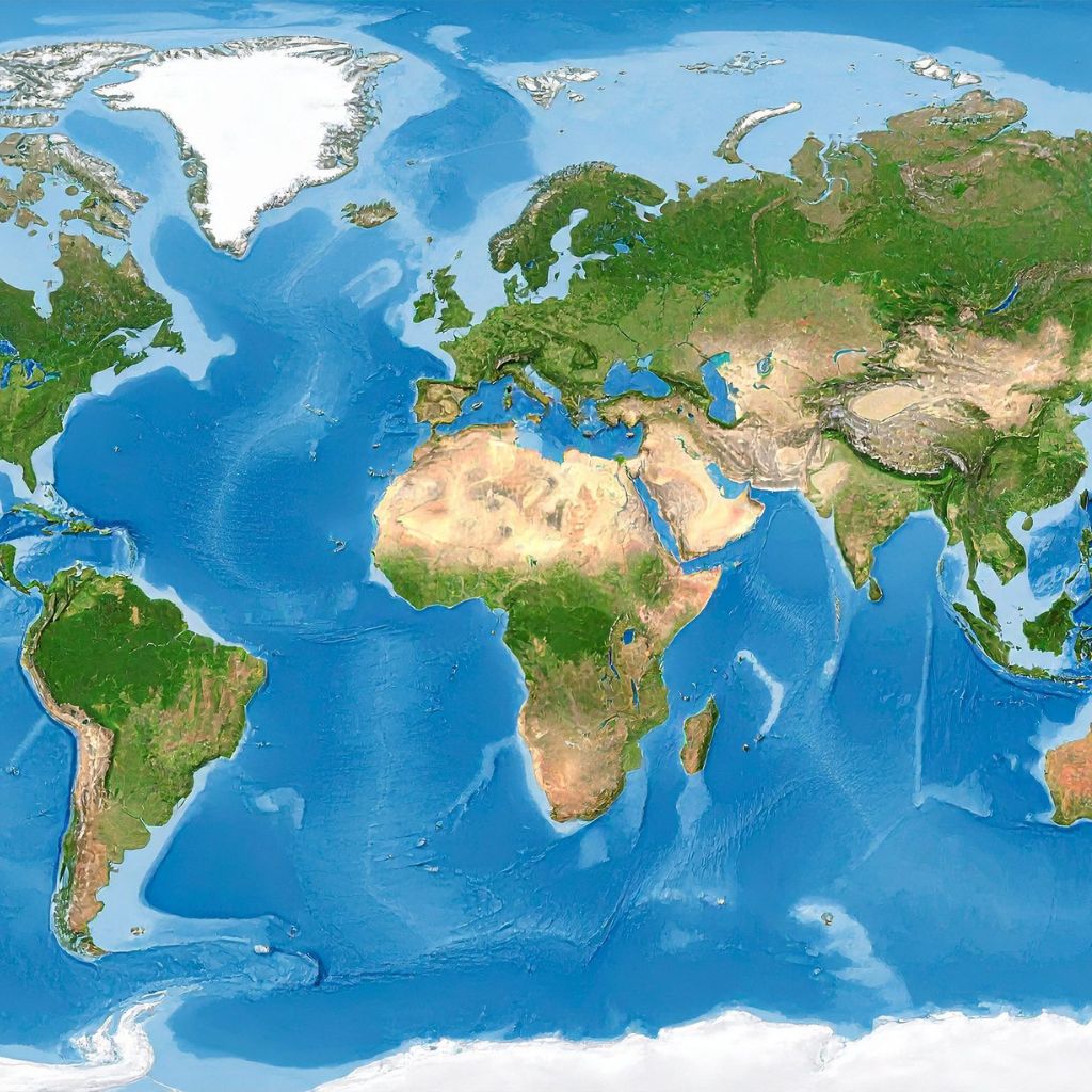
2D & 1D hydraulic models to simulate water flow, depth, and extent.
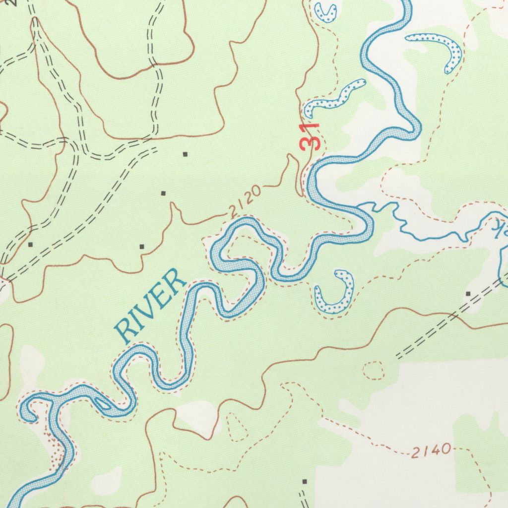
Leverage satellite imagery, LiDAR, and GIS for accurate mapping and monitoring.

Create detailed flood hazard maps for rivers, coasts, and urban areas.
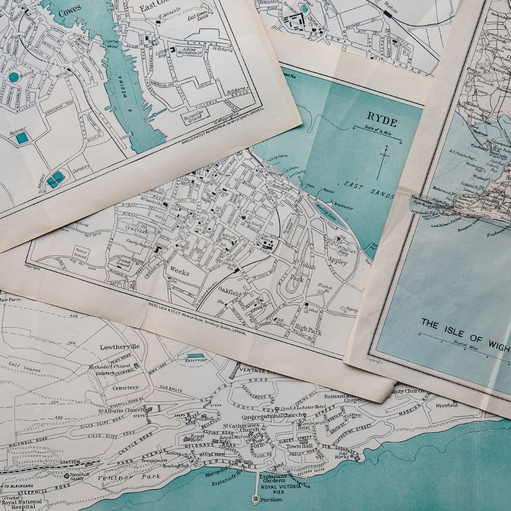
Real-time forecasting and alerts to support proactive disaster management.
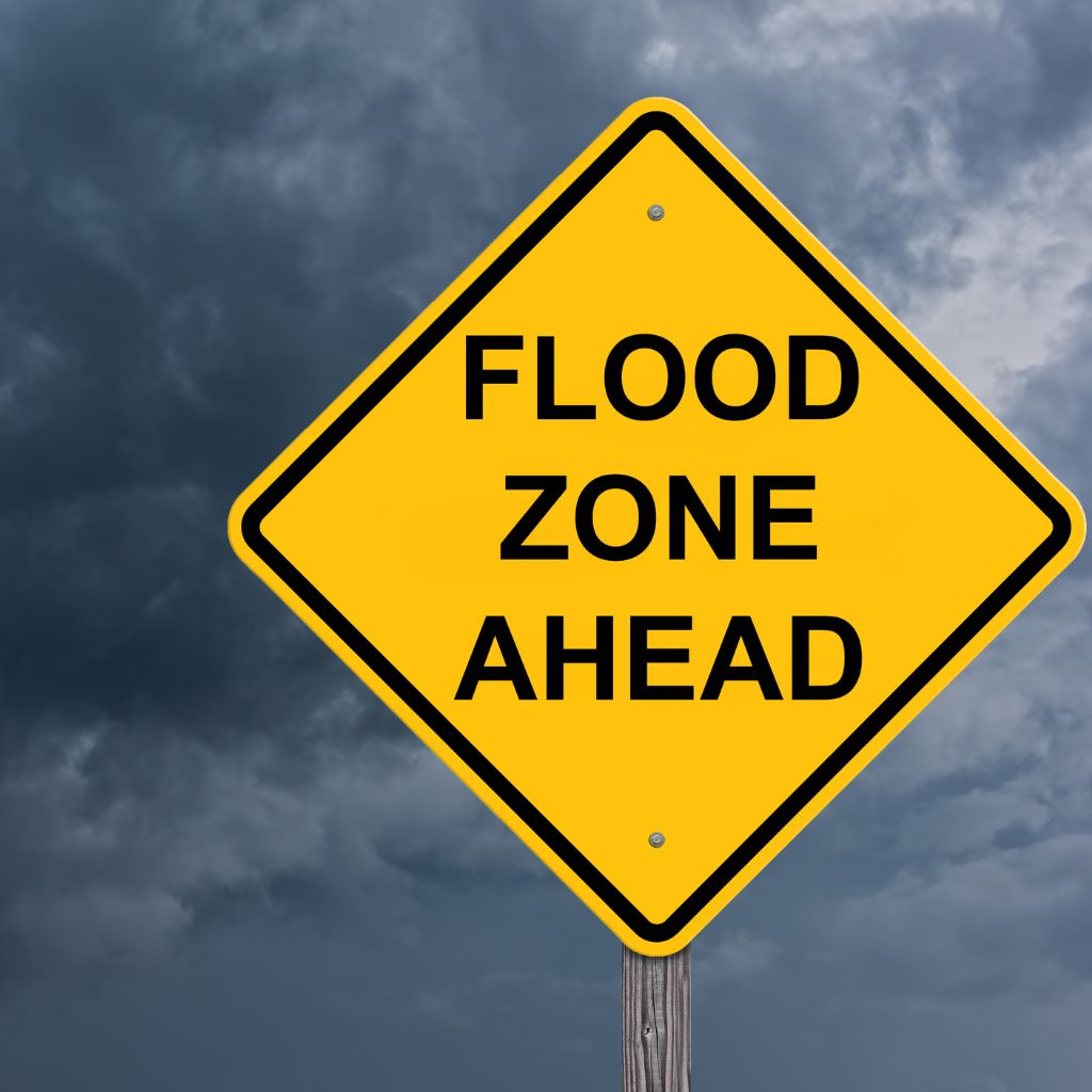
Comprehensive reports and expert consultation for planning and compliance.

Gather topographic, rainfall, hydrological, and infrastructure data from multiple sources.
Build and calibrate hydraulic models to simulate flood scenarios.
Generate flood extent and depth maps for different return periods.
Evaluate exposure, vulnerability, and potential impacts on people and assets.
Deliver actionable insights to support mitigation and preparedness strategies.
Continuously monitor and update models with real-time data for accuracy.
Identify flood-prone areas for smart and safe urban development.
Support government and agencies in disaster preparedness and response.
Aid in resilient design of roads, bridges, and critical infrastructure.
Empower communities with flood risk information and evacuation planning.
Enable better risk assessment for insurance pricing and financial planning.
Protect ecosystems and support sustainable water resource management.
Partner with Axiom for reliable flood mapping solutions that help build a safer, more resilient tomorrow.
Talk to an Expert