Home › Services › LiDAR › Digital Elevation Model (DEM)
Digital Elevation Model (DEM)

Accurate Elevation.
Smarter Decisions.

Digital Elevation Models (DEMs) represent the elevation of the Earth's surface in a digital format. Generated from LiDAR data, DEMs provide crucial 3D insights for analysis, planning, and decision-making.

High Accuracy

Centimeter-level precision

True Surface Model

Bare-earth representation

Large Area Coverage

From small sites to regions

Multiple Formats

GeoTIFF, ASCII, LAS & more

Introduction

What is a Digital Elevation Model (DEM)?

A DEM is a 3D raster representation of terrain elevation above a datum. LiDAR-derived DEMs capture the bare-earth surface by removing vegetation, buildings, and other objects, delivering highly accurate elevation data.

Represent

Earth's surface elevation in a digital raster format.

Derived From

LiDAR point clouds using advanced classification.

Used For

Analysis, modeling, planning, and visualization.

Supports Better

Decisions with accurate terrain information.
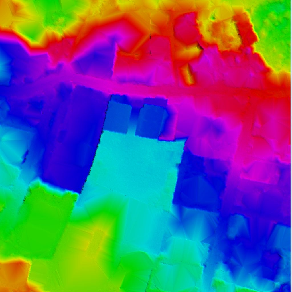
LiDAR Point Cloud vs DEM comparison simulation
POINT CLOUD
DIGITAL ELEVATION MODEL (DEM)
Methodology

How We Create DEMs

01
Data Preparation

Organize and validate LiDAR point cloud data.

02
Ground Classification

Identify and classify ground points using advanced algorithms.

03
Surface Generation

Interpolate ground points to create a continuous elevation surface.

04
Quality Control

Validate accuracy and consistency to ensure high-quality DEM.

05
Export & Delivery

Deliver DEM in required formats and projections ready for use.

Use Cases

Applications of DEMs

Topographic Mapping

Create contour maps, slope maps, and terrain analysis with precision elevation grids.

Hydrology & Water Resources

Watershed delineation, flood inundation modeling, and stream flow path analysis.

Civil Engineering

Road alignments planning, cut & fill volume analysis, and construction site grading.

Urban Planning

3D city modeling, zoning boundaries layout, and infrastructure site analysis.

Mining & Quarrying

Pit volume monitoring, reserve estimation, and structural stability analysis.

Forestry & Environment

Habitat modeling, erosion analysis, forest canopy heights, and vegetation density.

Deliverables

DEM Outputs & Deliverables

DEM (GeoTIFF)

Raster elevation data mapping

Hillshade

Relief shaded visualization models

Slope Map

Terrain slope gradients calculations

Contour Map

Vector elevation contours lines

Aspect Map

Slope horizontal orientation compass

3D Visualization

Interactive 3D elevation displays

Supported Formats

GeoTIFF, ASCII Grid, LAS, XYZ, IMG, ECW and more. Delivered in any projection, resolution, and extent.

Key Benefits

Why Choose Our DEM Services?

High Accuracy

Centimeter-level vertical accuracy for reliable elevation data.

Advanced Algorithms

State-of-the-art ground classification and filtering algorithms.

Experienced Team

Experts in LiDAR processing, classification, and spatial analysis.

Scalable Solutions

From small projects to large-scale state or national mapping.

Fast Turnaround

Optimized workflows for quick delivery without compromising quality.

Quality Assured

Rigorous multi-stage QA/QC check gates for reliable spatial results.

Unlock the Power of Elevation Data

Reliable DEMs for better analysis, smarter planning, and stronger decisions.