Home › Services › LiDAR › LiDAR for Infrastructure
LiDAR for Infrastructure

Build with Confidence.
Operate with Intelligence.

LiDAR provides highly accurate 3D data for the entire infrastructure lifecycle—from planning and design to construction, inspection, and asset management.

Accurate 3D Mapping

As-built conditions

Design & Construction

Support better planning

Inspection & Monitoring

Detect issues early

Asset Management

Maintain assets proactively

Overview

Why LiDAR for Infrastructure?

LiDAR delivers accurate, reliable, and up-to-date spatial data that empowers infrastructure professionals to design smarter, build faster, inspect safer, and manage assets more effectively.

Accurate

Millimeter to centimeter spatial precision.

Comprehensive

Capture terrain, structures, and all public assets.

Efficient

Rapid field data collection & algorithm processing.

Reliable

Consistent, repeatable, and verifiable survey data.
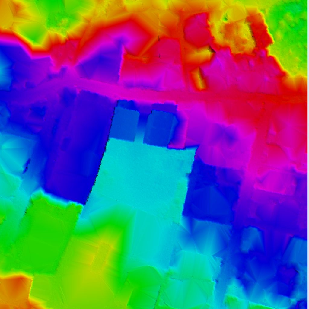
Highway Bridge LiDAR Point Cloud visualization
Sectors

Applications Across Infrastructure

Transportation
  • Roads & Highways
  • Railways
  • Bridges & Tunnels
  • As-built documents
Buildings
  • As-built BIM
  • Structural analysis
  • Facade inspection
  • Timeline checks
Ports & Marine
  • Harbors & Docks
  • Quay wall profiles
  • Dredging volumes
  • Coastal changes
Energy & Utilities
  • Power Plants
  • Solar & Wind farms
  • Pipeline routes
  • Right-of-Way maps
Water
  • Dams & Reservoirs
  • Canals mapping
  • Facility 3D models
  • Sediment analysis
Urban
  • Urban Planning
  • Public asset lists
  • Digital twins
  • Smart city models
Deliverables

Deliverables & Outputs

Point Cloud

Classified vector coordinates

3D Mesh

Surface textured meshes

Digital Surface Model (DSM)

Full-height surface model

Digital Terrain Model (DTM)

Bare-earth terrain model

3D Model / BIM

Revit & IFC ready files

Orthomosaic

High-resolution maps

Cross Sections

Span elevation profiles

Volume Calculations

Volumetric measurements data

Supported Formats

LAS, LAZ, E57, GeoTIFF, DWG, DXF, IFC, RVT, OBJ, PDF & more.

Coordinate Systems

WGS84, UTM, State Plane, Local & Custom Projections.

Methodology

Our LiDAR Workflow for Infrastructure

01
Plan

Define scope, scanning resolution boundaries, and target deliverables parameters.

02
Acquire

Collect high-density point datasets using aerial, mobile, or terrestrial scanners.

03
Process

Align point cloud files, clean noise features, and classify layers objects.

04
Analyze

Extract feature models, inspect structural deformation, and create 3D meshes.

05
Deliver

Provide GIS-ready vector maps, BIM elevation profiles, and inspection reports.

06
Support

Ongoing maintenance assistance for structural health monitoring cycles.

Case Performance

Real Data. Real Impact.

Axiom LiDAR infrastructure solutions help engineering teams, construction contractors, and asset managers inspect structural assets and minimize planning reworks.

View Case Studies
98%

Data Accuracy Achieved

50%+

Faster Survey Turnaround

35%

Reduction in Rework

30%

Lower Project Costs

Trusted Partners

Trusted by Infrastructure Leaders

AECOM
Jacobs
HNTB
WSP
Arcadis
Stantec

Transform Infrastructure with LiDAR

Accurate data. Smarter decisions. Better outcomes.