Home › Services › LiDAR Overview › Data Acquisition
LiDAR Data Acquisition

Capture Reality.
Power Possibilities.

High-precision LiDAR data acquisition is the foundation of accurate mapping, modeling, and decision-making. We capture the world in 3D with speed, accuracy, and unmatched detail.

High Accuracy

Centimeter-level precision

Rapid Capture

Large areas in less time

All Environments

Day, night & all weather

Reliable & Scalable

Small to nation-wide scale

Overview

What is LiDAR Data Acquisition?

LiDAR data acquisition is the process of capturing millions of laser points to measure distances and create a detailed 3D representation of real-world environments. The data serves as a reliable source for mapping, analysis, design, and digital twins.

Measure

Laser pulses measure millions of points in real time.

Capture

Advanced sensors capture precise 3D coordinates.

Store

Raw data is securely stored for processing and analysis.

Use

Data is transformed into actionable insights.
Drone performing LiDAR scanning representation
1B+
Points Captured Daily
99.9%
Data Accuracy
500+
Projects Completed
20+
Countries Served
Our Process

Our LiDAR Data Acquisition Workflow

01
Planning & Survey Design

Define project scope, area of interest, and deliverables parameters.

02
Data Collection

Capture LiDAR data using advanced sensors and GNSS/IMU systems.

03
Quality Check

Initial QC to ensure data completeness, accuracy, and consistency.

04
Post-Processing

Point cloud processing, classification, and calibration for high quality.

05
Deliverables

Deliver optimized data in standard formats ready for your workflows.

Equipment

Our Platforms & Sensors

We use state-of-the-art LiDAR systems and mobile mapping platforms to capture accurate data efficiently and safely.

Explore Sensors
Mobile Mapping

For highways, roads, urban streets, and complex pipeline corridor mapping.

UAV LiDAR

Ideal for remote forestry, hazardous topography, and hard-to-reach terrain mapping.

Backpack LiDAR

Highly flexible for indoor construction, underground tunnels, and confined space layouts.

Static LiDAR

High-accuracy tripod mounted scanners for long-duration infrastructure mapping.

Mapping Applications

Applications

Topographic Mapping

Accurate digital terrain mapping, elevation analysis, contouring, and surface generation.

Infrastructure

Structural inspections, road/highway asset monitoring, bridge deformation analysis, and railways.

Urban Planning

Accurate 3D city models, building footprints, zoning maps, and smart city spatial datasets.

Forestry & Environment

Vegetation height analysis, forest canopy mapping, biomass evaluation, and flood plain studies.

Mining & Quarries

Volumetric calculations, excavation safety monitoring, pit design mapping, and stockpile analysis.

Power & Utilities

Powerline sag inspection, encroachment detection, substation mapping, and asset lifecycle analysis.

Formats & Outputs

Data Deliverables

We deliver clean, accurate, and ready-to-use data in industry-standard formats ready for CAD, GIS, or rendering workflows.

View Sample Data
Point Cloud

(.LAS / .LAZ)

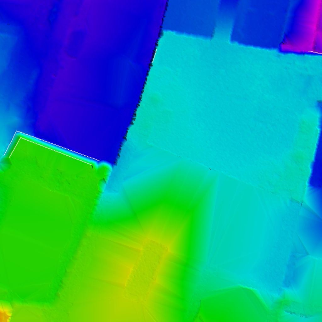
Digital Elevation Model

(DEM / DTM)

Orthomosaic

(GeoTIFF / JPEG)

3D Mesh

(.OBJ / .FBX)

Contour Maps

(.DWG / .SHP / .PDF)

Custom Reports

& Analytics

Ready to Capture Your World in 3D?

Talk to our LiDAR experts and get high-quality data tailored to your project needs.