Home › Services › LiDAR Overview
LiDAR Solutions

See the world
in a new light.

LiDAR (Light Detection and Ranging) uses laser pulses to measure distances and create precise 3D maps of the real world. It delivers unmatched accuracy, reliability, and real-time insights for a smarter future.

High Accuracy

Centimeter-level precision

Real-Time Data

Live 3D point clouds

All-Weather

Day/night, rain or shine

Wide Range

From meters to kilometers

Technology Overview

What is LiDAR?

LiDAR is a remote sensing technology that measures distance by illuminating targets with laser light and analyzing the reflected pulses. The result is highly accurate 3D data that reveals the shape, structure, and dynamics of objects and environments.

Laser Emission

The LiDAR sensor emits thousands of laser pulses per second.

Reflection

Pulses reflect off objects in the environment and return to the sensor.

Measurement

The sensor calculates distance based on the time it takes to return.

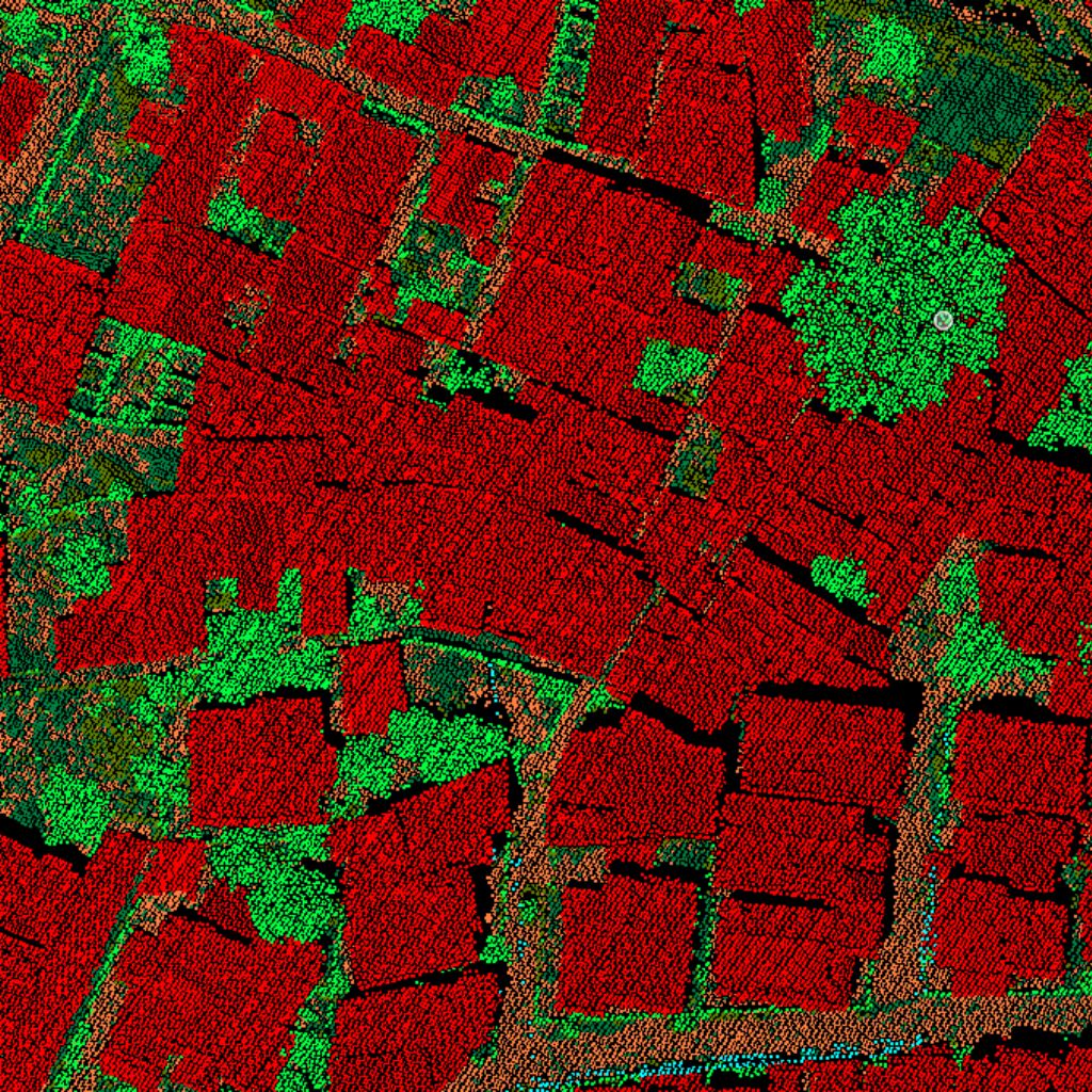
3D Point Cloud

Millions of points are combined to create a detailed 3D map.
3D point cloud car scanning simulation representing what is LiDAR
Technical Process

How LiDAR Works

01

Emit

The LiDAR sensor emits rapid pulses in 360° horizontally and across multiple vertical layers.

02

Detect

Objects reflect the laser pulses back to the receiver sensor.

03

Measure

The sensor measures the time-of-flight of each pulse to accurately calculate distances.

04

Generate

The system combines distance measurements and sensor orientation to generate a precise 3D point cloud.

05

Analyze

Advanced feature extraction software turns the point cloud into intelligent, actionable spatial insights.

Sensor Specifications

360°
Field of View
300m+
Detection Range
1M+
Points per Second
< 2cm
System Accuracy
High frequency pulsed lasers provide real-time updates for fast moving targets.
Industries & Uses

LiDAR Applications

LiDAR is transforming industries with accurate 3D data and real-time insights.

Autonomous Vehicles

Enables safe navigation, obstacle detection, and comprehensive environment perception for driverless mobility systems.

Surveying & Mapping

Creates highly accurate elevation maps and structural models for urban development, civil engineering, and corridor design.

Smart Cities

Supports infrastructure management, building modeling, vegetation growth monitoring, and intelligent traffic layout planning.

Forestry & Agriculture

Monitors tree height, estimates forest biomass, manages soil attributes, and optimizes agricultural yields and resource use.

Security & Monitoring

Provides critical perimeter security, intrusion warnings, threat profiling, and real-time situational awareness around facilities.

Mining & Industry

Calculates stockpile volume metrics, tracks excavation safety thresholds, and increases overall operational efficiency.

Why Choose LiDAR

Benefits of LiDAR

LiDAR delivers unmatched advantages over traditional sensing technologies.

Explore Benefits
High Accuracy

Centimeter-level precision for reliable results.

Works in Any Condition

Operates in darkness, bright light, fog, or rain.

Rich 3D Data

Captures millions of points for detailed 3D models.

Real-Time Insights

Delivers immediate data for faster decisions.

Scalable Solutions

From short-range to long-range, tailored to your needs.

Future-Ready

Powering the future of automation, mobility, and smart systems.

Unlock the power of LiDAR

Discover how LiDAR technology can drive innovation, improve efficiency, and create a safer world.